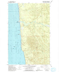
1982 Map of Tunnel Island
USGS Topo · Published 1993About this map
The Quinault Indian Reservation occupies much of this coastal landscape, where the Raft River meets the Pacific Ocean. This 1980s survey, updated in the early 1990s, documents a shoreline defined by sea stacks and rocky formations including Tunnel Island, Elephant Rock, and Willoughby Rock. These features comprise the Washington Copalis Islands National Wildlife Refuge, protecting the offshore habitat while the mainland is marked by numerous Gravel Pit operations. The network of inland waterways, such as Red Creek and Camp Creek, drains the timbered interior of Grays Harbor County. Notable coastal landmarks like Pratt Cliff and Hogsback provide clear navigational reference points along this reach of the Olympic Peninsula coastline.
Find a feature on this map
24 named features on this map. Tap any name to fly to it.
Don’t see what you’re looking for? This feature index may not catch every label — zoom into the map to look around manually.
Map Details
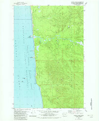
Editions of this 1982 Tunnel Island Map
2 editions found
Other maps of this area

1943 · Copalis Beach
USGS Topo · 1:250,000

1951 · Copalis Beach
USGS Topo · 1:250,000

1955 · Taholah
USGS Topo · 1:62,500

1955 · Macafee Hill
USGS Topo · 1:62,500

1956 · Destruction Island
USGS Topo · 1:62,500

1956 · Salmon River
USGS Topo · 1:62,500

1957 · Copalis Beach
USGS Topo · 1:250,000

1963 · Copalis Beach
USGS Topo · 1:250,000
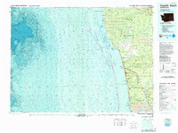
1980 · Copalis Beach
USGS Topo · 1:100,000
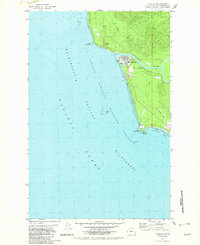
1982 · Taholah
USGS Topo · 1:24,000