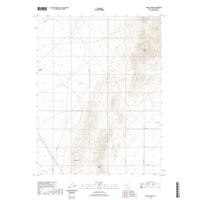
2020 Map of Tunnel Spring
USGS Topo · Published 2020About this map
Tunnel Spring is a critical water source in this arid corner of Millard County, situated on the eastern slopes of the Tunnel Spring Mountains. This high-desert landscape is defined by its dramatic elevation changes between the central peaks and the surrounding basins of Antelope Valley and Pine Valley. To the west, East Antelope Reservoir collects seasonal runoff, while the southern terrain is marked by the distinct topography of the Halfway Hills and the geological formation of Warm Cove Ridge. A grid of rural roads, including the evocatively named Cowboy Rd and various numbered routes like S 28400 West St, provides access across the basin floors. The distribution of these roads and water features reflects the ongoing management of this open range by agencies like the Bureau of Land Management.
Find a feature on this map
17 named features on this map. Tap any name to fly to it.
Don’t see what you’re looking for? This feature index may not catch every label — zoom into the map to look around manually.
Map Details
Editions of this 2020 Tunnel Spring Map
This is the sole edition of this map. No revisions or reprints were ever made.
Other maps of this area

1953 · Richfield
USGS Topo · 1:250,000

1958 · Richfield
USGS Topo · 1:250,000

1960 · Burbank Hills
USGS Topo · 1:62,500

1960 · Wah Wah Summit
USGS Topo · 1:62,500

1960 · Crystal Peak
USGS Topo · 1:62,500

1971 · Mountain Home Pass
USGS Topo · 1:24,000

1971 · Halfway Summit
USGS Topo · 1:24,000

1971 · Tunnel Spring
USGS Topo · 1:24,000

1971 · Mormon Gap
USGS Topo · 1:24,000

1980 · Wah Wah Mts. North
USGS Topo · 1:100,000