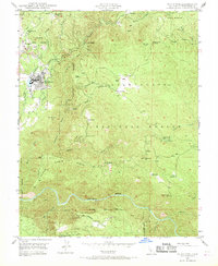
1948 Map of Tuolumne
USGS Topo · Published 1970About this map
Tuolumne Indian Rancheria and the settlement of Tuolumne anchor this post-war landscape, where the Sierra RR winds through the hills to serve a region defined by its timber and mining heritage. The mapping reveals a complex network of resource extraction and early mountain infrastructure, including the State Fish Hatchery near The Basin and the Arastraville Sch serving the northern settlements.
Find a feature on this map
54 named features on this map. Tap any name to fly to it.
Don’t see what you’re looking for? This feature index may not catch every label — zoom into the map to look around manually.
Map Details
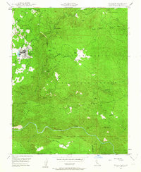
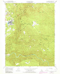
Editions of this 1948 Tuolumne Map
3 editions found
Other maps of this area

1891 · Big Trees
USGS Topo · 1:125,000

1893 · Sonora
USGS Topo · 1:125,000

1894 · Big Trees
USGS Topo · 1:125,000

1896 · Sonora
USGS Topo · 1:125,000

1897 · Sonora
USGS Topo · 1:125,000

1897 · Big Trees
USGS Topo · 1:125,000

1898 · Sonora
USGS Topo · 1:125,000

1901 · Big Trees
USGS Topo · 1:125,000

1947 · Sacramento
USGS Topo · 1:250,000

1947 · San Jose
USGS Topo · 1:250,000