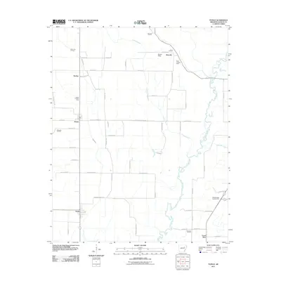
2011 Map of Tupelo
USGS Topo · Published 2011About this map
Tupelo and Weldon anchor a landscape defined by the winding course of the Cache River and its complex network of seasonal waterways, including Overcup Slough and Overcup Ditch. This Jackson County terrain is largely organized by a grid of rural routes like Hatchett Bottoms Rd and Jack Hardin Rd, interspersed with agricultural settlements such as Shoffner and Blackville. Genealogists will find a significant record of local families at several burial sites, including Mount Zion Cemetery in the west and Gourdneck Cemetery near Gourd Neck in the south.
Find a feature on this map
54 named features on this map. Tap any name to fly to it.
Don’t see what you’re looking for? This feature index may not catch every label — zoom into the map to look around manually.
Map Details
Editions of this 2011 Tupelo Map
This is the sole edition of this map. No revisions or reprints were ever made.
Other maps of this area

1935 · Newport
USGS Topo · 1:62,500

1935 · Augusta
USGS Topo · 1:62,500

1935 · Tuckerman
USGS Topo · 1:62,500

1940 · Tilton
USGS Topo · 1:62,500

1953 · Memphis
USGS Topo · 1:250,000

1956 · Memphis
USGS Topo · 1:250,000

1956 · Tilton
USGS Topo · 1:62,500

1957 · Augusta
USGS Topo · 1:62,500

1962 · Newport
USGS Topo · 1:24,000
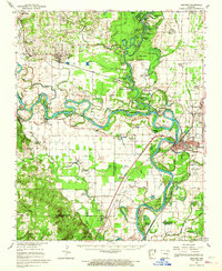
1962 · Newport
USGS Topo · 1:62,500