1933 Map of Tupman
USGS Topo · Published 1933About this map
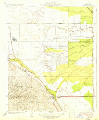
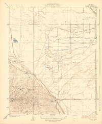
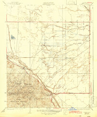
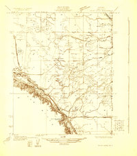
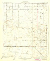
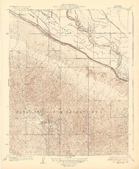
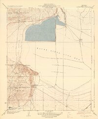
Elk Hills dominates the southern landscape of this 1933 survey, a region defined by its critical role in California's early 20th-century oil production. The map illustrates a specialized industrial environment where company outposts like Standard Oil Co Camp and the Pan American Petroleum Co Camp are situated directly within the Naval Petroleum Reserve No 1. These camps represent the self-contained worker communities of the era, providing housing and services deep within the oil fields.
Find a feature on this map
19 named features on this map. Tap any name to fly to it.
Don’t see what you’re looking for? This feature index may not catch every label — zoom into the map to look around manually.
Map Details
Editions of this 1933 Tupman Map
3 editions found
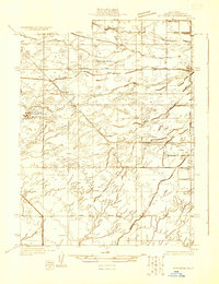
Other maps of this area

1910 · Buena Vista Lake
USGS Topo · 1:125,000

1912 · Buena Vista Lake
USGS Topo · 1:125,000
1929 · Stevens
USGS Topo · 1:31,680
1929 · Coles Levee
USGS Topo · 1:31,680
1929 · Mouth of Kern
USGS Topo · 1:31,680
1930 · Millux
USGS Topo · 1:31,680
1930 · Rosedale
USGS Topo · 1:31,680
1931 · Rio Bravo
USGS Topo · 1:31,680
1932 · East Elk Hills
USGS Topo · 1:31,680
1932 · Mouth of Kern
USGS Topo · 1:31,680