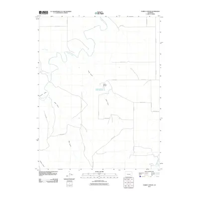
2010 Map of Turkey Canyon
USGS Topo · Published 2010About this map
The Purgatoire River carves a winding path through this corner of Bent County, shaping a landscape defined by deep drainages and intermittent watercourses. In the early 21st century, the terrain is marked by the Turkey Canyon and Baker Canyon systems, which feed into the larger river valley. A notable piece of modern water infrastructure, the Landsat Number A-44A Dam, holds back the Landsat Number A-44A Reservoir in the central portion of the quadrangle. The area is intersected by a network of rural routes, including County Road S and County Rd 9, which provide access to the high plateaus above Ninemile Valley. In the southeast, the Muddy Creek Canal indicates the continued importance of water management in this arid environment.
Find a feature on this map
26 named features on this map. Tap any name to fly to it.
Don’t see what you’re looking for? This feature index may not catch every label — zoom into the map to look around manually.
Map Details
Editions of this 2010 Turkey Canyon Map
This is the sole edition of this map. No revisions or reprints were ever made.
Other maps of this area

1891 · Higbee
USGS Topo · 1:125,000

1893 · Higbee
USGS Topo · 1:125,000

1955 · La Junta
USGS Topo · 1:250,000

1958 · La Junta
USGS Topo · 1:250,000
1966 · Gilpin
USGS Topo · 1:24,000
1966 · Toonerville
USGS Topo · 1:24,000
1966 · Hackamore Ranch
USGS Topo · 1:24,000
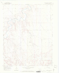
1966 · Turkey Canyon
USGS Topo · 1:24,000
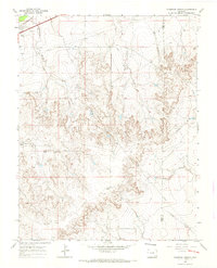
1966 · Thompson Arroyo
USGS Topo · 1:24,000
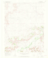
1966 · Higbee
USGS Topo · 1:24,000