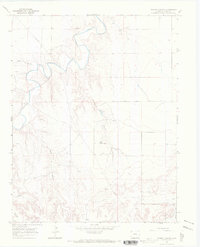
1966 Map of Turkey Canyon
USGS Topo · Published 1970About this map
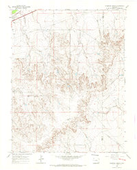
The Purgatoire River winds through the northern reaches of this landscape in Bent County, creating a complex network of drainage systems across the high plains. The terrain is defined by deep incisions such as Turkey Canyon and Baker Canyon, which provide essential drainage into the river valley. In this arid environment, reliable water sources were critical to land use, evidenced by the named Kelly Water Hole and various Springs located along the canyon floors.
Find a feature on this map
10 named features on this map. Tap any name to fly to it.
Don’t see what you’re looking for? This feature index may not catch every label — zoom into the map to look around manually.
Map Details
Editions of this 1966 Turkey Canyon Map
This is the sole edition of this map. No revisions or reprints were ever made.
Other maps of this area

1891 · Higbee
USGS Topo · 1:125,000

1893 · Higbee
USGS Topo · 1:125,000

1955 · La Junta
USGS Topo · 1:250,000

1958 · La Junta
USGS Topo · 1:250,000
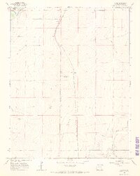
1966 · Gilpin
USGS Topo · 1:24,000
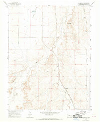
1966 · Toonerville
USGS Topo · 1:24,000
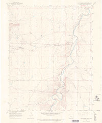
1966 · Hackamore Ranch
USGS Topo · 1:24,000
1966 · Thompson Arroyo
USGS Topo · 1:24,000
1966 · Higbee
USGS Topo · 1:24,000

1968 · La Junta
USGS Topo · 1:250,000