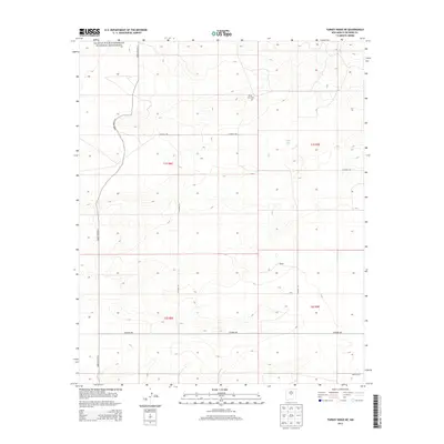
2013 Map of Turkey Ridge NE
USGS Topo · Published 2013About this map
Salinas Pueblo Missions National Monument occupies the northwestern corner of this high-desert landscape in Socorro County, representing a layer of protected heritage in a region defined by sparse settlement and wide-open ranges. The local geography is anchored by White Lake, a prominent water feature in an otherwise arid terrain, which likely served as a critical focal point for early residents and travelers alike. Near its shores, the White Lake Cem remains as a tangible connection to the families who established themselves in these central New Mexico basins.
Find a feature on this map
15 named features on this map. Tap any name to fly to it.
Don’t see what you’re looking for? This feature index may not catch every label — zoom into the map to look around manually.
Map Details
Editions of this 2013 Turkey Ridge NE Map
This is the sole edition of this map. No revisions or reprints were ever made.
Other maps of this area

1954 · Fort Sumner
USGS Topo · 1:250,000

1954 · Socorro
USGS Topo · 1:250,000

1958 · Socorro
USGS Topo · 1:250,000

1958 · Fort Sumner
USGS Topo · 1:250,000

1962 · Socorro
USGS Topo · 1:250,000

1972 · Turkey Ridge
USGS Topo · 1:24,000

1972 · Turkey Ridge SW
USGS Topo · 1:24,000

1972 · Gran Quivira
USGS Topo · 1:24,000

1972 · Bigbee Draw
USGS Topo · 1:24,000
1972 · Cat Mesa
USGS Topo · 1:24,000