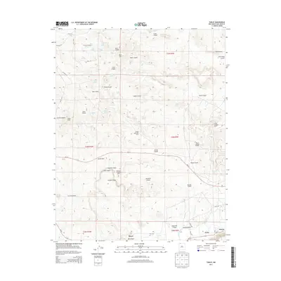
2013 Map of Turley
USGS Topo · Published 2013About this map
Blanco and Turley sit at the southern edge of this San Juan County landscape, where the San Juan River valley defines the local topography. This 2013 survey reveals a high-desert environment deeply etched by a network of drainage systems including Alamo Canyon, Cerritos Canyon, and Caballo Canyon. The presence of multiple natural spans, such as Little Delicate Arch, Pemada Canyon Arch, and Crow Canyon Arch, points to a geological character shaped by wind and water erosion. Local landmarks like Bonnie Rock and Slane Knob rise above the complex system of canyons, while numerous named water sources like Valencia Spring and Burro Spring suggest the critical importance of water access in this arid region. The map also traces the modern road network including NM-173 and NM-511 as they connect these riverfront settlements to the broader Plateau.
Find a feature on this map
64 named features on this map. Tap any name to fly to it.
Don’t see what you’re looking for? This feature index may not catch every label — zoom into the map to look around manually.
Map Details
Editions of this 2013 Turley Map
This is the sole edition of this map. No revisions or reprints were ever made.
Other maps of this area

1889 · Largo
USGS Topo · 1:250,000

1895 · Largo
USGS Topo · 1:250,000

1954 · Aztec
USGS Topo · 1:250,000

1958 · Aztec
USGS Topo · 1:250,000

1959 · Gould Pass
USGS Topo · 1:62,500

1959 · Aztec
USGS Topo · 1:62,500

1959 · Navajo Dam
USGS Topo · 1:62,500

1960 · Bloomfield
USGS Topo · 1:62,500

1962 · Aztec
USGS Topo · 1:250,000

1965 · Aztec
USGS Topo · 1:250,000