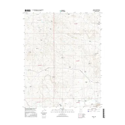
2017 Map of Turley
USGS Topo · Published 2017About this map
The San Juan River flows through the southern reach of this San Juan County landscape, where the small settlement of Turley is situated near the junction of several county roads. The terrain is defined by a dense network of drainages, including Hart Canyon, Crow Canyon, and Mansfield Canyon, which carve through the high mesas. This topography is notable for its natural spans and landmarks, such as Little Delicate Arch, Pemada Canyon Arch, and the prominent Bonnie Rock near Navajo Dam Rd.
Find a feature on this map
67 named features on this map. Tap any name to fly to it.
Don’t see what you’re looking for? This feature index may not catch every label — zoom into the map to look around manually.
Map Details
Editions of this 2017 Turley Map
This is the sole edition of this map. No revisions or reprints were ever made.
Other maps of this area

1889 · Largo
USGS Topo · 1:250,000

1895 · Largo
USGS Topo · 1:250,000

1954 · Aztec
USGS Topo · 1:250,000

1958 · Aztec
USGS Topo · 1:250,000

1959 · Gould Pass
USGS Topo · 1:62,500

1959 · Aztec
USGS Topo · 1:62,500

1959 · Navajo Dam
USGS Topo · 1:62,500

1960 · Bloomfield
USGS Topo · 1:62,500

1962 · Aztec
USGS Topo · 1:250,000

1965 · Aztec
USGS Topo · 1:250,000