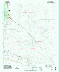
1991 Map of Turn
USGS Topo · Published 1996About this map
Large Spanish land grants define the geography of the Middle Rio Grande Valley, where the Tome Grant, Belen Grant, and Casa Colorada Grant converge. The landscape is a study in water management and transportation history, featuring the intricate network of the Sabinal Ditch and the Old Jarales Riverside Drain alongside the Rio Grande. This complex irrigation system supported small agricultural outposts and rail stops like Madrone and Bodega situated along the Atchison Topeka and Santa Fe railroad line.
Find a feature on this map
21 named features on this map. Tap any name to fly to it.
Don’t see what you’re looking for? This feature index may not catch every label — zoom into the map to look around manually.
Map Details
Editions of this 1991 Turn Map
This is the sole edition of this map. No revisions or reprints were ever made.
Other maps of this area

1916 · La Joya
USGS Topo · 1:125,000

1952 · Tome SE
USGS Topo · 1:24,000

1952 · Black Butte
USGS Topo · 1:24,000

1952 · Tome NE
USGS Topo · 1:24,000

1952 · Belen
USGS Topo · 1:24,000

1952 · Turn
USGS Topo · 1:24,000

1952 · Veguita
USGS Topo · 1:24,000

1952 · Tome
USGS Topo · 1:24,000

1952 · Becker
USGS Topo · 1:24,000

1952 · Abeytas
USGS Topo · 1:24,000