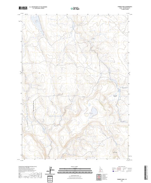
2024 Map of Turner Table
USGS Topo · Published 2024About this map
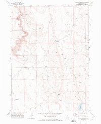
Turner Table and Turner Butte rise above the high desert drainage systems of Owyhee County, defining a landscape shaped by intermittent water and livestock ranching infrastructure. The hydrologic network is the primary focus of this map, featuring named water sources such as Angleworm Spring, Banks Spring, and the unique geological formation known as The Potholes. Human presence in this arid region is marked by a series of reservoirs including Whites Reservoir and the Monasterio-Jacks Cr Reservoir, which manage seasonal runoff from Big Jacks Creek and Blue Creek. The presence of the Battle Creek Rd provides the primary transit corridor through this section of the Owyhee Plateau, connecting remote grazing lands and Jacks Creek Meadows.
Find a feature on this map
17 named features on this map. Tap any name to fly to it.
Don’t see what you’re looking for? This feature index may not catch every label — zoom into the map to look around manually.
Map Details
Editions of this 2024 Turner Table Map
This is the sole edition of this map. No revisions or reprints were ever made.
Other maps of this area

1955 · Jordan Valley
USGS Topo · 1:250,000

1957 · Jordan Valley
USGS Topo · 1:250,000

1958 · Jordan Valley
USGS Topo · 1:250,000
1972 · Hill Pasture
USGS Topo · 1:24,000

1972 · Wickahoney Point
USGS Topo · 1:24,000

1972 · Little Blue Table
USGS Topo · 1:24,000
1972 · Crab Spring Butte
USGS Topo · 1:24,000

1972 · Turner Table
USGS Topo · 1:24,000
1972 · Nichol Flat
USGS Topo · 1:24,000
1972 · Shoofly Springs
USGS Topo · 1:24,000