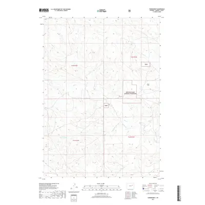
2017 Map of Turnercrest
USGS Topo · Published 2017About this map
Turnercrest lies within the expansive open country of Campbell County, where the high plains terrain is defined by subtle drainage systems and township divisions. This area, mapped in the modern era, shows a landscape predominantly shaped by natural watercourses like N Bates Cr, which carves through the undulating topography. The sparsity of named settlements highlights the rural character of this region, where land management and large-scale ranching or mineral interests often dictate the spatial organization of the territory. This record captures the contemporary layout of the high plains, providing a clear view of the relationship between small local hubs and the expansive surrounding basin.
Find a feature on this map
2 named features on this map. Tap any name to fly to it.
Don’t see what you’re looking for? This feature index may not catch every label — zoom into the map to look around manually.
Map Details
Editions of this 2017 Turnercrest Map
This is the sole edition of this map. No revisions or reprints were ever made.
Other maps of this area

1953 · South Butte
USGS Topo · 1:24,000

1954 · Pine Tree
USGS Topo · 1:24,000

1955 · Newcastle
USGS Topo · 1:250,000

1958 · Newcastle
USGS Topo · 1:250,000

1959 · Coal Draw
USGS Topo · 1:62,500

1960 · Ross
USGS Topo · 1:62,500

1960 · Turnercrest
USGS Topo · 1:62,500

1974 · Reno Junction
USGS Topo · 1:100,000

1979 · Bill
USGS Topo · 1:100,000

1984 · Turnercrest
USGS Topo · 1:24,000