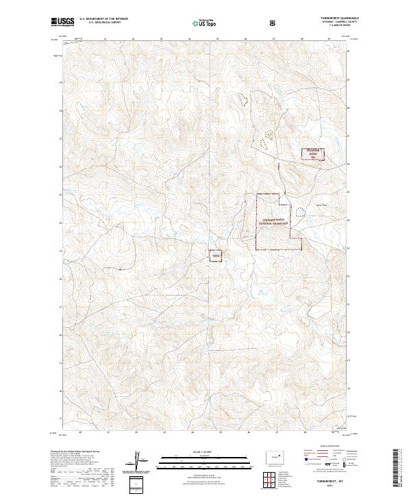
2021 Map of Turnercrest
USGS Topo · Published 2021About this map
Thunder Basin National Grassland dominates this high plains landscape in Campbell County, where public lands and intermittent water sources define the geography. The map traces the winding paths of Little Bates Cr, N Bates Cr, and Bates Cr, illustrating a drainage system typical of the semi-arid basins in northeast Wyoming. Named landmarks like Mexican Springs and the level expanse of Reno Flats provide essential orientation points in a territory historically used for grazing and ranching. The township and range lines, such as t42n r74w and t41n r73w, structure the vast open spaces, showing how late-twentieth-century land management has preserved this characteristic prairie environment into the modern era.
Find a feature on this map
13 named features on this map. Tap any name to fly to it.
Don’t see what you’re looking for? This feature index may not catch every label — zoom into the map to look around manually.
Map Details
Editions of this 2021 Turnercrest Map
This is the sole edition of this map. No revisions or reprints were ever made.
Other maps of this area

1953 · South Butte
USGS Topo · 1:24,000

1954 · Pine Tree
USGS Topo · 1:24,000

1955 · Newcastle
USGS Topo · 1:250,000

1958 · Newcastle
USGS Topo · 1:250,000

1959 · Coal Draw
USGS Topo · 1:62,500

1960 · Ross
USGS Topo · 1:62,500

1960 · Turnercrest
USGS Topo · 1:62,500

1974 · Reno Junction
USGS Topo · 1:100,000

1979 · Bill
USGS Topo · 1:100,000

1984 · Turnercrest
USGS Topo · 1:24,000