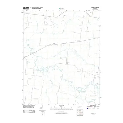
2010 Map of Turnpike
USGS Topo · Published 2010About this map
The Hatchie River meanders through this portion of Lauderdale County, creating a complex network of wetlands and oxbow lakes such as Horseshoe Lake, Round Hole Lake, and Chaney Lake. The terrain is characterized by these active and former river channels, including the Bond Cutoff Lake near the Cannon Lake Dam. Settlement is largely concentrated along higher ground, connected by rural routes like Van Buren Rd and Bono Ferry Rd, which cross the numerous drainage systems of Lagoon Creek and Cypress Creek.
Find a feature on this map
45 named features on this map. Tap any name to fly to it.
Don’t see what you’re looking for? This feature index may not catch every label — zoom into the map to look around manually.
Map Details
Editions of this 2010 Turnpike Map
This is the sole edition of this map. No revisions or reprints were ever made.
Other maps of this area

1950 · Brownsville
USGS Topo · 1:24,000

1951 · Brownsville
USGS Topo · 1:24,000

1952 · Stanton
USGS Topo · 1:24,000

1952 · Dancyville
USGS Topo · 1:24,000

1952 · Stanton
USGS Topo · 1:62,500

1954 · Mason
USGS Topo · 1:62,500

1956 · Blytheville
USGS Topo · 1:250,000

1959 · Blytheville
USGS Topo · 1:250,000

1961 · Rialto
USGS Topo · 1:62,500

1962 · Rialto
USGS Topo · 1:62,500