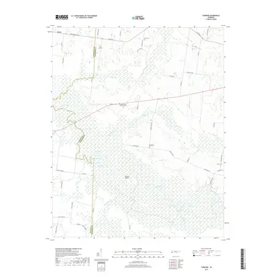
2019 Map of Turnpike
USGS Topo · Published 2019About this map
The Hatchie River dominates the central and southern reaches of this landscape, meandering through the extensive wetlands of Hatchie Bottom. This hydraulic network defines the intersection of Lauderdale, Tipton, and Haywood Counties, creating a complex environment of oxbows and depressions including Horseshoe Lake, Round Hole Lake, and Double Basin. The settlement of Orysa sits in the northwestern corner, while the surrounding upland areas are marked by a dispersed collection of family and community burial grounds such as Estes Cem, Walker Cem, and the Turnpike Family Memorial Garden.
Find a feature on this map
57 named features on this map. Tap any name to fly to it.
Don’t see what you’re looking for? This feature index may not catch every label — zoom into the map to look around manually.
Map Details
Editions of this 2019 Turnpike Map
This is the sole edition of this map. No revisions or reprints were ever made.
Other maps of this area

1950 · Brownsville
USGS Topo · 1:24,000

1951 · Brownsville
USGS Topo · 1:24,000

1952 · Stanton
USGS Topo · 1:24,000

1952 · Dancyville
USGS Topo · 1:24,000

1952 · Stanton
USGS Topo · 1:62,500

1954 · Mason
USGS Topo · 1:62,500

1956 · Blytheville
USGS Topo · 1:250,000

1959 · Blytheville
USGS Topo · 1:250,000

1961 · Rialto
USGS Topo · 1:62,500

1962 · Rialto
USGS Topo · 1:62,500