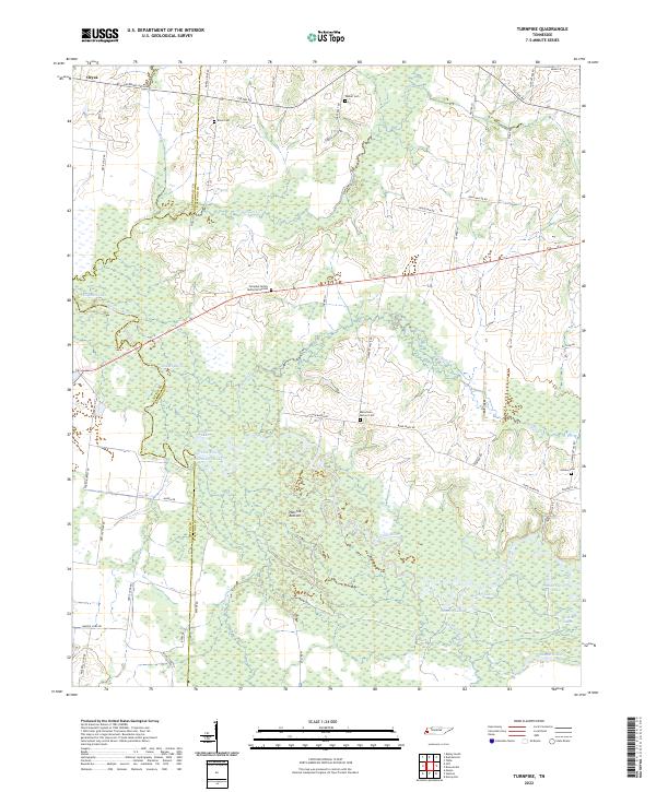
2022 Map of Turnpike
USGS Topo · Published 2022About this map
Hatchie Bottom dominates this West Tennessee landscape, where the meandering course of the Hatchie River creates a complex network of oxbow lakes and wetlands. The terrain is defined by these water bodies, including Horseshoe Lake, Round Hole Lake, and Shepard Lake, which speak to the river's historical shifts across the floodplain. The boundary between Tipton and Haywood counties follows the old riverbed, illustrating how natural hydrology has historically dictated political geography in this region.
Find a feature on this map
57 named features on this map. Tap any name to fly to it.
Don’t see what you’re looking for? This feature index may not catch every label — zoom into the map to look around manually.
Map Details
Editions of this 2022 Turnpike Map
This is the sole edition of this map. No revisions or reprints were ever made.
Other maps of this area

1950 · Brownsville
USGS Topo · 1:24,000

1951 · Brownsville
USGS Topo · 1:24,000

1952 · Stanton
USGS Topo · 1:24,000

1952 · Dancyville
USGS Topo · 1:24,000

1952 · Stanton
USGS Topo · 1:62,500

1954 · Mason
USGS Topo · 1:62,500

1956 · Blytheville
USGS Topo · 1:250,000

1959 · Blytheville
USGS Topo · 1:250,000

1961 · Rialto
USGS Topo · 1:62,500

1962 · Rialto
USGS Topo · 1:62,500