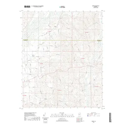
2018 Map of Turon
USGS Topo · Published 2018About this map
Bull Mountain Creek and its southern tributaries define the topography along the Itawamba and Monroe County line. This rural corridor is anchored by the small settlements of Turon and Parham, where the landscape is marked by a high density of family and community burial grounds. These sites, including Wylie Cem, Springfield Cem, and Silome Cem, provide a valuable spatial record of the area's early families. The network of local roads like Sams Sawmill Rd and Jug Shop Rd suggests a history of local timbering and small-scale industry. From the creek bottoms of Hadaway Cr to the reaches of Splunge Cr, the map detail captures the intersection of agricultural land and the watershed's natural drainage patterns.
Find a feature on this map
78 named features on this map. Tap any name to fly to it.
Don’t see what you’re looking for? This feature index may not catch every label — zoom into the map to look around manually.
Map Details
Editions of this 2018 Turon Map
This is the sole edition of this map. No revisions or reprints were ever made.
Other maps of this area

1953 · West Point
USGS Topo · 1:250,000

1956 · Tupelo
USGS Topo · 1:250,000

1958 · Tupelo
USGS Topo · 1:250,000

1958 · West Point
USGS Topo · 1:250,000

1963 · West Point
USGS Topo · 1:250,000

1966 · Smithville
USGS Topo · 1:24,000

1966 · Beans Ferry
USGS Topo · 1:24,000

1966 · Amory
USGS Topo · 1:24,000

1966 · Turon
USGS Topo · 1:24,000

1966 · Tremont
USGS Topo · 1:24,000