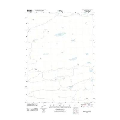
2011 Map of Turpin Lake West
USGS Topo · Published 2011About this map
Beckwith Ranch and several other legacy cattle operations define this high plains landscape in northwestern Nebraska. The drainage of Gordon Creek cuts through the southern half of the quadrangle, flanked by expansive valleys like Gem Valley and Waupan Valley. This region is characterized by a high density of small, often isolated water bodies, including the centrally located Rat Lake, Thirty One Lake, and Fawn Lake.
Find a feature on this map
26 named features on this map. Tap any name to fly to it.
Don’t see what you’re looking for? This feature index may not catch every label — zoom into the map to look around manually.
Map Details
Editions of this 2011 Turpin Lake West Map
This is the sole edition of this map. No revisions or reprints were ever made.
Other maps of this area

1948 · Spade Ranch
USGS Topo · 1:62,500

1949 · Turpin Lake
USGS Topo · 1:62,500

1950 · Spade Ranch
USGS Topo · 1:62,500

1951 · Gypsy Valley
USGS Topo · 1:62,500

1951 · Turpin Lake
USGS Topo · 1:62,500

1955 · Alliance
USGS Topo · 1:250,000

1957 · Alliance
USGS Topo · 1:250,000

1957 · Valentine
USGS Topo · 1:250,000

1958 · Alliance
USGS Topo · 1:250,000

1959 · Valentine
USGS Topo · 1:250,000