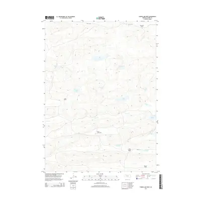
2014 Map of Turpin Lake West
USGS Topo · Published 2014About this map
The Nebraska Sandhills of Cherry County define this landscape, where a high concentration of natural basins and seasonal wetlands dot the terrain. Central to the area is Gordon Cr, which flows through a series of expansive depressions including Lake Springs Valley and Waupan Valley. The map shows a region shaped by its hydrology, with numerous named bodies of water such as Rat Lake, Braunsweiger Lake, and the namesake Turpin Lake providing vital resources in an otherwise arid-looking grassland. Human infrastructure is minimal, represented primarily by the Runner Landing Area and sand roads like Fawn Lake Rd and Runner Rd. These features suggest a landscape primarily utilized for ranching and remote aviation, where the placement of Thirty-One Lake and Moore Lake likely serves as critical landmarks for local navigation.
Find a feature on this map
20 named features on this map. Tap any name to fly to it.
Don’t see what you’re looking for? This feature index may not catch every label — zoom into the map to look around manually.
Map Details
Editions of this 2014 Turpin Lake West Map
This is the sole edition of this map. No revisions or reprints were ever made.
Other maps of this area

1948 · Spade Ranch
USGS Topo · 1:62,500

1949 · Turpin Lake
USGS Topo · 1:62,500

1950 · Spade Ranch
USGS Topo · 1:62,500

1951 · Gypsy Valley
USGS Topo · 1:62,500

1951 · Turpin Lake
USGS Topo · 1:62,500

1955 · Alliance
USGS Topo · 1:250,000

1957 · Alliance
USGS Topo · 1:250,000

1957 · Valentine
USGS Topo · 1:250,000

1958 · Alliance
USGS Topo · 1:250,000

1959 · Valentine
USGS Topo · 1:250,000