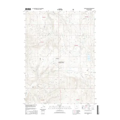
2015 Map of Turpin Reservoir
USGS Topo · Published 2015About this map
Medicine Bow National Forest encompasses this high-elevation landscape within the Medicine Bow Mountains of Carbon County. Centered on a rugged network of forest service roads and drainage basins, the terrain is defined by its water resources, including the namesake Turpin Reservoir and the Brown Number 1 Reservoir situated to the southwest. These reservoirs, along with numerous named creeks such as Turpin Cr and N Brush Cr, indicate the area's importance for water management and recreation within the national forest system.
Find a feature on this map
35 named features on this map. Tap any name to fly to it.
Don’t see what you’re looking for? This feature index may not catch every label — zoom into the map to look around manually.
Map Details
Editions of this 2015 Turpin Reservoir Map
This is the sole edition of this map. No revisions or reprints were ever made.
Other maps of this area

1893 · Fort Steele
USGS Topo · 1:125,000

1906 · Medicine Bow
USGS Topo · 1:125,000

1908 · Medicine Bow
USGS Topo · 1:125,000

1939 · Saratoga
USGS Topo · 1:125,000

1954 · Rawlins
USGS Topo · 1:250,000

1955 · Elk Mountain SW
USGS Topo · 1:24,000

1955 · Coad Mountain
USGS Topo · 1:24,000

1958 · Rawlins
USGS Topo · 1:250,000

1958 · White Rock Canyon
USGS Topo · 1:24,000

1961 · Ryan Park
USGS Topo · 1:24,000