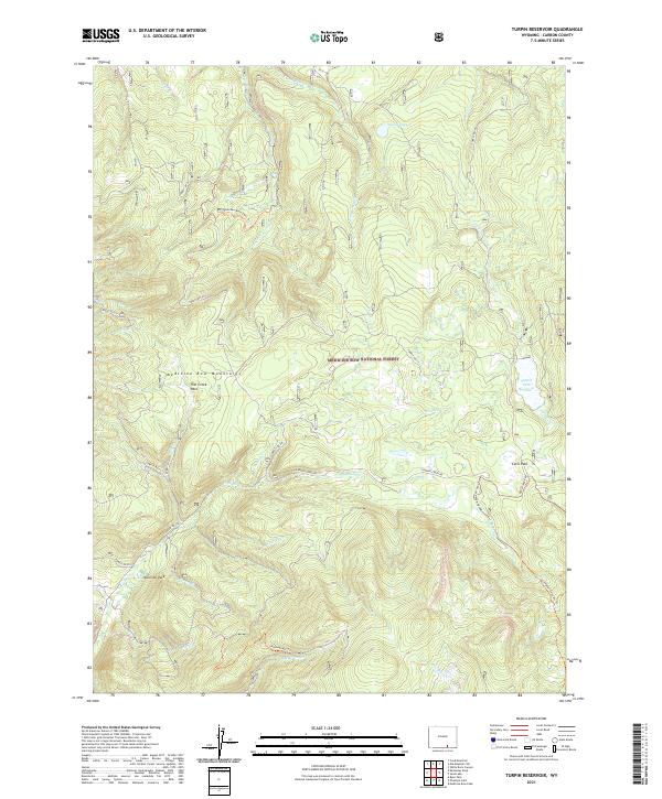
2021 Map of Turpin Reservoir
USGS Topo · Published 2021About this map
The Medicine Bow Mountains define the high-country character of this 2021 survey, where the drainages of the Snowy Range feed into several significant water bodies and high-elevation meadows. Central to the topography is the Turpin Park Reservoir, a focal point for the surrounding network of forest roads and trails that navigate the steep slopes. The landscape is punctuated by distinct parks—naturally occurring alpine openings—such as Fish Creek Park, Cecil Park, and Mullison Park, which served as historical landmarks for early travelers and land managers in the Carbon County high country.
Find a feature on this map
35 named features on this map. Tap any name to fly to it.
Don’t see what you’re looking for? This feature index may not catch every label — zoom into the map to look around manually.
Map Details
Editions of this 2021 Turpin Reservoir Map
This is the sole edition of this map. No revisions or reprints were ever made.
Other maps of this area

1893 · Fort Steele
USGS Topo · 1:125,000

1906 · Medicine Bow
USGS Topo · 1:125,000

1908 · Medicine Bow
USGS Topo · 1:125,000

1939 · Saratoga
USGS Topo · 1:125,000

1954 · Rawlins
USGS Topo · 1:250,000

1955 · Elk Mountain SW
USGS Topo · 1:24,000

1955 · Coad Mountain
USGS Topo · 1:24,000

1958 · Rawlins
USGS Topo · 1:250,000

1958 · White Rock Canyon
USGS Topo · 1:24,000

1961 · Ryan Park
USGS Topo · 1:24,000