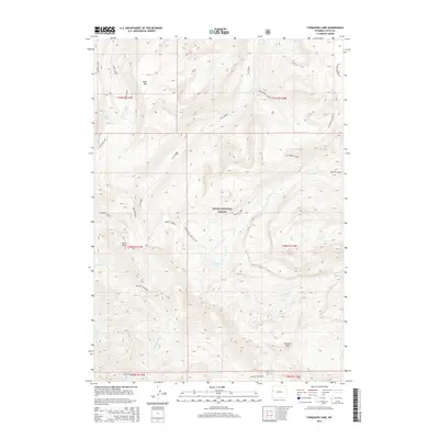
2015 Map of Turquoise Lake
USGS Topo · Published 2015About this map
Teton National Forest encompasses this high-altitude landscape, where the waters of Turquoise Lake serve as a central landmark for backcountry navigation. The topography is defined by significant summits, including Table Mtn, Cache Peak, and Pinnacle Peak, which dictate the drainage patterns of numerous mountain streams. Waterways such as Flat Creek, Granite Creek, and Goodwin Lake create a complex hydrographic network within the Gros Ventre Range. The map details established wilderness routes like the Granite Highline, the Turquoise Lake Cut-Off, and the Flat Creek Cutoff. These paths reflect a long history of forest management and recreation, providing essential corridors through the steep canyons of Sheep Creek and Bunker Creek. The land is meticulously partitioned by the Public Land Survey System, shown through township boundaries like t40n r114w.
Find a feature on this map
29 named features on this map. Tap any name to fly to it.
Don’t see what you’re looking for? This feature index may not catch every label — zoom into the map to look around manually.
Map Details
Editions of this 2015 Turquoise Lake Map
This is the sole edition of this map. No revisions or reprints were ever made.
Other maps of this area

1899 · Grand Teton
USGS Topo · 1:125,000

1901 · Grand Teton
USGS Topo · 1:125,000

1902 · Mt Leidy
USGS Topo · 1:125,000

1907 · Gros Ventre
USGS Topo · 1:125,000

1910 · Gros Ventre
USGS Topo · 1:125,000

1931 · Jackson
USGS Topo · 1:125,000

1935 · Jackson
USGS Topo · 1:125,000

1955 · Driggs
USGS Topo · 1:250,000

1958 · Driggs
USGS Topo · 1:250,000

1962 · Driggs
USGS Topo · 1:250,000