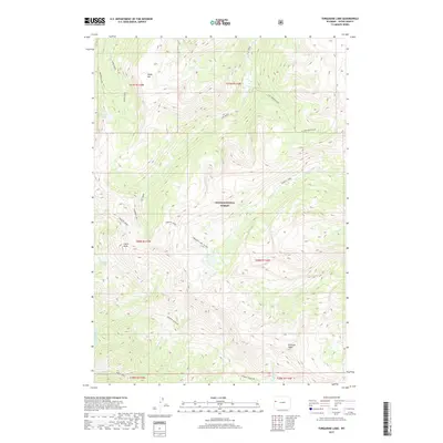
2017 Map of Turquoise Lake
USGS Topo · Published 2017About this map
Teton National Forest encompasses this high-elevation terrain in Teton County, characterized by a complex network of ridgelines and watercourses. Central to the area is Turquoise Lake, a prominent alpine feature situated at the convergence of several drainages, including Granite Cr and the Turquoise Lake Cut-Off. To the north, Goodwin Lake sits beneath the heights of Table Mtn, while Cache Peak and Pinnacle Peak define the southern skyline.
Find a feature on this map
32 named features on this map. Tap any name to fly to it.
Don’t see what you’re looking for? This feature index may not catch every label — zoom into the map to look around manually.
Map Details
Editions of this 2017 Turquoise Lake Map
This is the sole edition of this map. No revisions or reprints were ever made.
Other maps of this area

1899 · Grand Teton
USGS Topo · 1:125,000

1901 · Grand Teton
USGS Topo · 1:125,000

1902 · Mt Leidy
USGS Topo · 1:125,000

1907 · Gros Ventre
USGS Topo · 1:125,000

1910 · Gros Ventre
USGS Topo · 1:125,000

1931 · Jackson
USGS Topo · 1:125,000

1935 · Jackson
USGS Topo · 1:125,000

1955 · Driggs
USGS Topo · 1:250,000

1958 · Driggs
USGS Topo · 1:250,000

1962 · Driggs
USGS Topo · 1:250,000