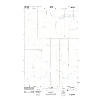
2011 Map of Turtle Creek SE
USGS Topo · Published 2011About this map
Zion Cemetery sits atop the high ground of McLean County, overlooking a landscape defined by the drainage of Painted Woods Creek. This 2011 survey by the U.S. Geological Survey documents the highly organized section-line road network that governs the agricultural life of this North Dakota prairie. The map reveals the precise intersection of rural life and transportation, where County Hwy-20, County Hwy-28, and County Hwy-29 facilitate movement across a sparsely settled terrain. Small ponds and marshy depressions dot the northern reaches of the quadrangle, while the southern portion is dominated by the meandering course and associated coulees of the creek system, providing a clear record of the area's natural hydrology alongside its human-made boundaries.
Find a feature on this map
23 named features on this map. Tap any name to fly to it.
Don’t see what you’re looking for? This feature index may not catch every label — zoom into the map to look around manually.
Map Details
Editions of this 2011 Turtle Creek SE Map
This is the sole edition of this map. No revisions or reprints were ever made.
Other maps of this area

1949 · Turtle Creek
USGS Topo · 1:62,500

1950 · Wilton
USGS Topo · 1:62,500

1954 · McClusky
USGS Topo · 1:250,000

1958 · McClusky
USGS Topo · 1:250,000

1959 · Mercer
USGS Topo · 1:24,000

1959 · Mercer SW
USGS Topo · 1:24,000

1961 · Turtle Creek SW
USGS Topo · 1:24,000

1961 · Turtle Creek NE
USGS Topo · 1:24,000

1961 · Turtle Creek NW
USGS Topo · 1:24,000

1961 · Turtle Creek SE
USGS Topo · 1:24,000