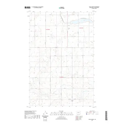
2020 Map of Turtle Creek SE
USGS Topo · Published 2020About this map
Painted Woods Cr winds through this section of McLean County, defining a landscape of wetlands and coulees in the northern Great Plains. The area is characterized by a high-resolution grid of section lines and gravel roads, including Co Hwy 22 and McLean Co Hwy 29, reflecting the region's enduring agricultural layout. A focal point for local history is the Zion Baptist Cem, which sits near the intersection of 127th Ave SW and 4th St SW. Modern recreational and transportation infrastructure is evident through the passage of the N Country National Scenic Trail in the northern reaches, while the Soderquist Airport in the south provides a rural aviation link for the surrounding farming community.
Find a feature on this map
23 named features on this map. Tap any name to fly to it.
Don’t see what you’re looking for? This feature index may not catch every label — zoom into the map to look around manually.
Map Details
Editions of this 2020 Turtle Creek SE Map
This is the sole edition of this map. No revisions or reprints were ever made.
Other maps of this area

1949 · Turtle Creek
USGS Topo · 1:62,500

1950 · Wilton
USGS Topo · 1:62,500

1954 · McClusky
USGS Topo · 1:250,000

1958 · McClusky
USGS Topo · 1:250,000

1959 · Mercer
USGS Topo · 1:24,000

1959 · Mercer SW
USGS Topo · 1:24,000

1961 · Turtle Creek SW
USGS Topo · 1:24,000

1961 · Turtle Creek NE
USGS Topo · 1:24,000

1961 · Turtle Creek NW
USGS Topo · 1:24,000

1961 · Turtle Creek SE
USGS Topo · 1:24,000