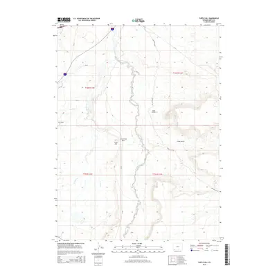
2015 Map of Turtle Hill
USGS Topo · Published 2015About this map
Turtle Hill and the elevated Cottonwood Bench dominate this high-desert terrain in Uinta County, Wyoming. The landscape is defined by the complex drainage systems of Blacks Fork and its tributaries, including Smiths Fork and Cottonwood Cr. The irrigation of this arid region is visible through features like Urie Ditch, which draws water toward the southern reaches of the map.
Find a feature on this map
22 named features on this map. Tap any name to fly to it.
Don’t see what you’re looking for? This feature index may not catch every label — zoom into the map to look around manually.
Map Details
Editions of this 2015 Turtle Hill Map
This is the sole edition of this map. No revisions or reprints were ever made.
Other maps of this area

1954 · Ogden
USGS Topo · 1:250,000

1958 · Ogden
USGS Topo · 1:250,000

1960 · Ogden
USGS Topo · 1:250,000

1964 · Butcher Knife Draw
USGS Topo · 1:24,000

1964 · Soap Holes Reservoir
USGS Topo · 1:24,000

1964 · Reed Reservoir
USGS Topo · 1:24,000

1964 · Mountain View
USGS Topo · 1:24,000
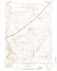
1964 · Wildcat Butte
USGS Topo · 1:24,000

1964 · Austin Reservoir
USGS Topo · 1:24,000
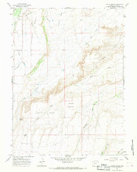
1964 · Leavitt Bench
USGS Topo · 1:24,000