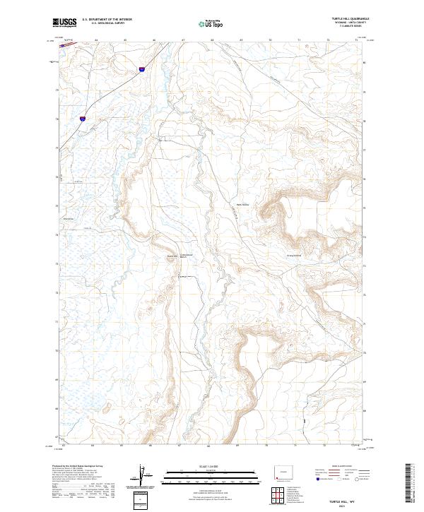
2021 Map of Turtle Hill
USGS Topo · Published 2021About this map
The drainage basins of the Smiths Fork and Cottonwood Cr dominate this section of Uinta County, revealing a landscape defined by water management and high-desert topography. The presence of the Urie Ditch alongside the natural flow of Urie Draw indicates the vital role of irrigation in sustaining the livestock and agricultural operations on the Cottonwood Bench.
Find a feature on this map
23 named features on this map. Tap any name to fly to it.
Don’t see what you’re looking for? This feature index may not catch every label — zoom into the map to look around manually.
Map Details
Editions of this 2021 Turtle Hill Map
This is the sole edition of this map. No revisions or reprints were ever made.
Other maps of this area

1954 · Ogden
USGS Topo · 1:250,000

1958 · Ogden
USGS Topo · 1:250,000

1960 · Ogden
USGS Topo · 1:250,000

1964 · Butcher Knife Draw
USGS Topo · 1:24,000

1964 · Soap Holes Reservoir
USGS Topo · 1:24,000

1964 · Reed Reservoir
USGS Topo · 1:24,000

1964 · Mountain View
USGS Topo · 1:24,000
1964 · Wildcat Butte
USGS Topo · 1:24,000

1964 · Austin Reservoir
USGS Topo · 1:24,000
1964 · Leavitt Bench
USGS Topo · 1:24,000