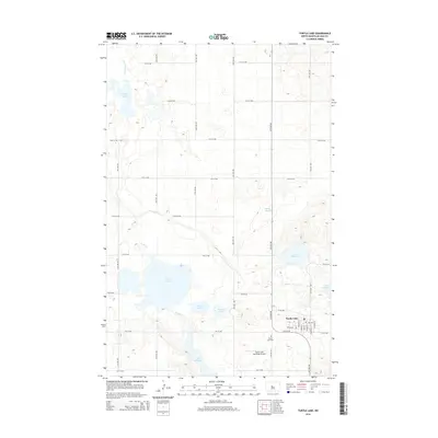
2014 Map of Turtle Lake
USGS Topo · Published 2014About this map
Turtle Lake serves as the central hub of this McLean County landscape, where a grid of rural section roads organizes a terrain defined by numerous sloughs and water bodies. The town itself is detailed down to its street grid, featuring Main St, Walnut St, and Roosevelt St, alongside the Turtle Lake Municipal Airport and Turtle Lake Cem. This area is characterized by the complex hydrography of the Missouri Plateau, where significant water features like Lake Brekken, Lake Holmes, and Lake Ordway provide a stark contrast to the surrounding agricultural prairie. These lakes and smaller features such as Kasper Slough and Cherry Lake are interconnected by the winding path of Turtle Cr. The map captures the persistent intersection of modern municipal infrastructure with the natural drainage patterns of central North Dakota, providing a clear view of the region's 21st-century settlement footprint.
Find a feature on this map
37 named features on this map. Tap any name to fly to it.
Don’t see what you’re looking for? This feature index may not catch every label — zoom into the map to look around manually.
Map Details
Editions of this 2014 Turtle Lake Map
This is the sole edition of this map. No revisions or reprints were ever made.
Other maps of this area
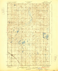
1929 · Coleharbor
USGS Topo · 1:62,500
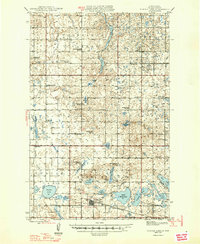
1947 · Turtle Lake
USGS Topo · 1:62,500
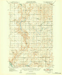
1949 · Turtle Creek
USGS Topo · 1:62,500
1949 · Washburn
USGS Topo · 1:62,500
1954 · McClusky
USGS Topo · 1:250,000
1958 · McClusky
USGS Topo · 1:250,000
1961 · Turtle Lake
USGS Topo · 1:24,000
1961 · Lake Nettie
USGS Topo · 1:24,000
1961 · Turtle Creek NE
USGS Topo · 1:24,000
1961 · Washburn NE
USGS Topo · 1:24,000