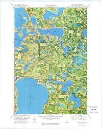
1972 Map of Turtle River
USGS Topo · Published 1974About this map
The glacial waters of northern Minnesota dominate this 1970s orthophotomap, showing the interconnected network of Lake Bemidji, Turtle Lake, and Beltrami Lake. The landscape is a mix of dense timber and marshy lowlands, much of it preserved within the Buena Vista State Forest and Lake Bemidji State Park. Small settlements like Birchmont and Lavinia sit along the lakeshores, while the Burlington Northern railroad cuts a diagonal line through the southwestern corner. Local landmarks such as the Pine Ridge Cem and the Christenson Landing Field provide specific points of reference for genealogists and local historians. The presence of numerous Gravel Pits scattered across the township indicates the importance of local material extraction for maintaining the area's light-duty road network.
Find a feature on this map
25 named features on this map. Tap any name to fly to it.
Don’t see what you’re looking for? This feature index may not catch every label — zoom into the map to look around manually.
Map Details
Editions of this 1972 Turtle River Map
3 editions found
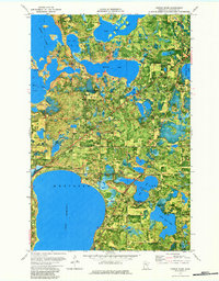
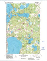
Other maps of this area

1920 · Buena Vista
USGS Topo · 1:62,500

1954 · Bemidji
USGS Topo · 1:250,000

1957 · Bemidji
USGS Topo · 1:250,000

1958 · Bemidji
USGS Topo · 1:250,000

1968 · Bemidji East
USGS Topo · 1:24,000

1968 · Bemidji West
USGS Topo · 1:24,000

1972 · Peterson Lake
USGS Topo · 1:24,000

1972 · Turtle River Lake
USGS Topo · 1:24,000

1972 · White Fish Lake
USGS Topo · 1:24,000
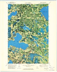
1972 · Tenstrike
USGS Topo · 1:24,000