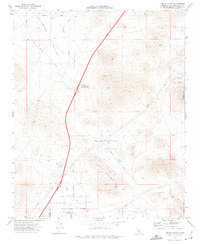
1970 Map of Turtle Valley
USGS Topo · Published 1975About this map
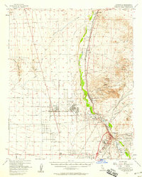
Sidewinder Valley and the surrounding Mojave Desert landscape are defined by an arid network of washes and rugged peaks in this 1970 survey. The settlement of Bell Mountain sits at the southwestern edge, adjacent to a network of local thoroughfares including Coloma Ave and Fairfield Ave. The mapping captures a transition in land use, where scattered mineral extraction sites like Bobcat Mine and the Altuda Mine punctuate the slopes of Turtle Mountain and Stoddard Mtn.
Find a feature on this map
28 named features on this map. Tap any name to fly to it.
Don’t see what you’re looking for? This feature index may not catch every label — zoom into the map to look around manually.
Map Details
Editions of this 1970 Turtle Valley Map
3 editions found
Other maps of this area

1932 · Barstow
USGS Topo · 1:125,000

1934 · Barstow
USGS Topo · 1:125,000

1953 · San Bernardino
USGS Topo · 1:250,000

1956 · San Bernardino
USGS Topo · 1:250,000
1956 · Victorville
USGS Topo · 1:24,000

1956 · Hawes
USGS Topo · 1:62,500

1956 · Barstow
USGS Topo · 1:62,500

1956 · Helendale
USGS Topo · 1:24,000
1956 · Victorville
USGS Topo · 1:62,500

1957 · Apple Valley
USGS Topo · 1:62,500