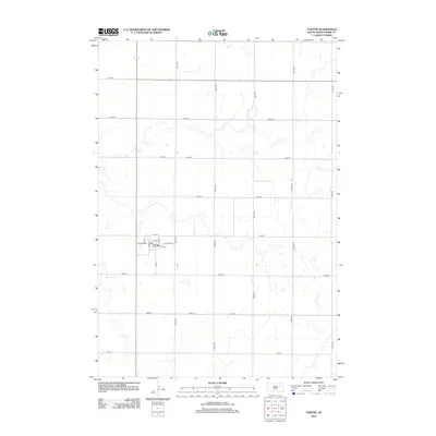
2012 Map of Turton
USGS Topo · Published 2012About this map
Turton stands as a focused grid of settlement in the eastern Dakota plains, centered at the intersection of a north-south thoroughfare and a network of local roads. The town's layout is clearly defined by its historic street names, including Front St, Oak St, and Ash St, which branch out from the core of W Center St and E Center St. This arrangement reflects a classic prairie town architecture designed around central access points. To the west, the winding path of Timber Cr provides a natural break in the otherwise systematic township and range grid system. The map illustrates a rural landscape dominated by large agricultural blocks partitioned by a precise lattice of numbered avenues and streets, such as 162nd St and 407th Ave, typical of the region's late 20th-century development.
Find a feature on this map
23 named features on this map. Tap any name to fly to it.
Don’t see what you’re looking for? This feature index may not catch every label — zoom into the map to look around manually.
Map Details
Editions of this 2012 Turton Map
This is the sole edition of this map. No revisions or reprints were ever made.
Other maps of this area

1894 · Conde
USGS Topo · 1:62,500

1895 · Byron
USGS Topo · 1:125,000

1895 · Aberdeen
USGS Topo · 1:125,000

1953 · Milbank
USGS Topo · 1:250,000

1953 · Huron
USGS Topo · 1:250,000

1953 · Watertown
USGS Topo · 1:250,000

1954 · Aberdeen
USGS Topo · 1:250,000

1954 · Huron
USGS Topo · 1:250,000

1956 · Aberdeen
USGS Topo · 1:250,000

1958 · Milbank
USGS Topo · 1:250,000