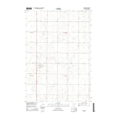
2015 Map of Turton
USGS Topo · Published 2015About this map
Turton serves as the central hub for this portion of Spink County, organized around a small grid of streets including Center St and E Center St. The surrounding landscape is defined by the Public Land Survey System, with a rigid network of section roads like 406th Ave and 161st St partitioning the agricultural terrain. This rectilinear order is occasionally interrupted by the winding path of Timber Cr, which cuts across the western sections of the township. The map illustrates the persistent structure of South Dakota's prairie settlements, where the intersection of water and rail-aligned street grids dictates the local geography. These 2015 details, sourced from the U.S. Geological Survey, record a landscape of isolated farmsteads and open fields typical of the Glacial Woods and Prairie region.
Find a feature on this map
23 named features on this map. Tap any name to fly to it.
Don’t see what you’re looking for? This feature index may not catch every label — zoom into the map to look around manually.
Map Details
Editions of this 2015 Turton Map
This is the sole edition of this map. No revisions or reprints were ever made.
Other maps of this area

1894 · Conde
USGS Topo · 1:62,500

1895 · Byron
USGS Topo · 1:125,000

1895 · Aberdeen
USGS Topo · 1:125,000

1953 · Milbank
USGS Topo · 1:250,000

1953 · Huron
USGS Topo · 1:250,000

1953 · Watertown
USGS Topo · 1:250,000

1954 · Aberdeen
USGS Topo · 1:250,000

1954 · Huron
USGS Topo · 1:250,000

1956 · Aberdeen
USGS Topo · 1:250,000

1958 · Milbank
USGS Topo · 1:250,000