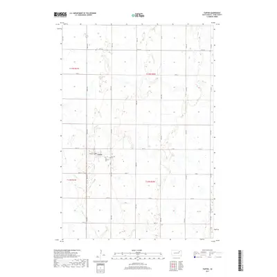
2017 Map of Turton
USGS Topo · Published 2017About this map
Turton anchors this portion of Spink County, situated within a landscape defined by the Public Land Survey System’s geometric precision. The town layout is clearly delineated by streets such as Center St, Front St, and 4th St, reflecting a traditional prairie settlement pattern. To the east of the residential center, Saint Joseph's Cem and Sunnyside Cem provide important reference points for genealogists and local historians tracking the area's early residents. The terrain is characterized by numerous small depressions and wetlands common to this part of the Glacial Lake Dakota region, with Timber Cr winding through the southwestern section. A network of section-line roads, including Co Rd 1 and Co Rd 14, facilitates travel through the surrounding agricultural townships of T118N and T119N.
Find a feature on this map
26 named features on this map. Tap any name to fly to it.
Don’t see what you’re looking for? This feature index may not catch every label — zoom into the map to look around manually.
Map Details
Editions of this 2017 Turton Map
This is the sole edition of this map. No revisions or reprints were ever made.
Other maps of this area

1894 · Conde
USGS Topo · 1:62,500

1895 · Byron
USGS Topo · 1:125,000

1895 · Aberdeen
USGS Topo · 1:125,000

1953 · Milbank
USGS Topo · 1:250,000

1953 · Huron
USGS Topo · 1:250,000

1953 · Watertown
USGS Topo · 1:250,000

1954 · Aberdeen
USGS Topo · 1:250,000

1954 · Huron
USGS Topo · 1:250,000

1956 · Aberdeen
USGS Topo · 1:250,000

1958 · Milbank
USGS Topo · 1:250,000