2021 Map of Turton
USGS Topo · Published 2021About this map
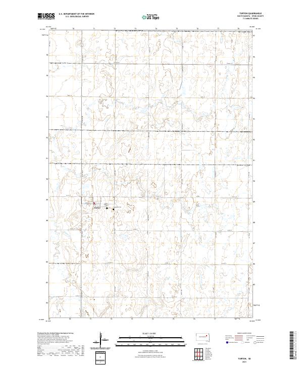
Turton serves as the primary focal point of this agricultural landscape in Spink County, organized by a precise grid of rural roads and section lines. The township is characterized by its wide-open prairie character, where the winding path of Timber Cr provides a natural break in the geometric surveying of the Plains. Local genealogy and history are anchored at the edge of the settlement by two distinct burial grounds, Saint Joseph's Cem and Sunnyside Cem, which sit just east of the main town site. The map reflects a modern era of high-precision surveying while maintaining the historical footprint of the original land claims, with roads like 405th Ave and 157th St tracing the borders of the township and range divisions. This intersection of natural hydrology and man-made order illustrates the enduring structure of South Dakota's farming communities.
Find a feature on this map
27 named features on this map. Tap any name to fly to it.
Don’t see what you’re looking for? This feature index may not catch every label — zoom into the map to look around manually.
Map Details
Editions of this 2021 Turton Map
This is the sole edition of this map. No revisions or reprints were ever made.