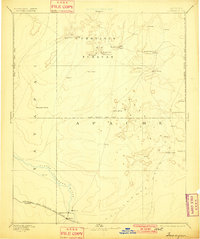
1886 Map of Tusayan
USGS Topo · Published 1901About this map
Oraibi and the ancient Hopi mesas of the Province of Tusayan anchor this late nineteenth-century reconnaissance of Northern Arizona. This survey, conducted just years before Arizona reached statehood, documents the complex cultural landscape across the Moki Indian Res. Line. The map highlights established Hopi villages including Walpi, Hano, and Si-chom-ivi, alongside the administrative hub at Keams Cañon. To the south, the development of the Atlantic and Pacific Rail Road follows the course of the Little Colorado River, facilitating the growth of Winslow and early Mormon settlements such as Brigham City and Sunset. This transition from traditional mesa top habitations to the burgeoning rail-driven economy of the river valley is clearly visible, with landmarks like Giants Chair and Monument Point providing navigational context across the arid expanse.
Find a feature on this map
31 named features on this map. Tap any name to fly to it.
Don’t see what you’re looking for? This feature index may not catch every label — zoom into the map to look around manually.
Map Details
Editions of this 1886 Tusayan Map
5 editions found
Other maps of this area

1883 · Marsh Pass
USGS Topo · 1:250,000

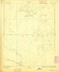
1883 · Tusayan
USGS Topo · 1:250,000

1886 · St Johns
USGS Topo · 1:250,000

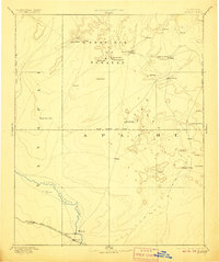
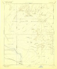
1886 · Tusayan
USGS Topo · 1:250,000

1886 · Fort Defiance
USGS Topo · 1:250,000

1886 · San Francisco Mtns
USGS Topo · 1:250,000

1886 · Echo Cliffs
USGS Topo · 1:250,000

1886 · Holbrook
USGS Topo · 1:250,000

1887 · Verde
USGS Topo · 1:250,000

1891 · San Francisco Mtns
USGS Topo · 1:250,000