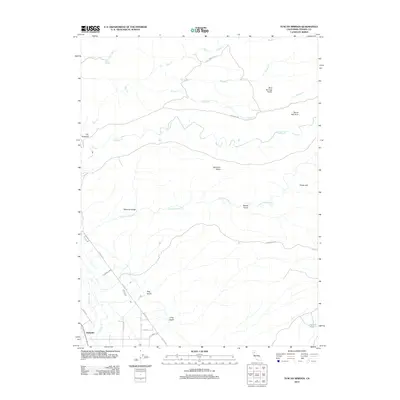
2012 Map of Tuscan Springs
USGS Topo · Published 2012About this map
Dairyville anchors the southwestern corner of this Tehama County landscape, where the valley floor meets the rising volcanic plateaus of the Cascade foothills. The area is defined by a series of parallel watercourses including Antelope Cr and Little Antelope Cr, which have carved deep drainages like Dehaven Gulch and Dewitt Gulch into the terrain. Further north, the namesake Tuscan Springs and Salt Cr flow near the The Hogback, highlighting a region known for its unique mineral waters and geologically distinct landforms.
Find a feature on this map
29 named features on this map. Tap any name to fly to it.
Don’t see what you’re looking for? This feature index may not catch every label — zoom into the map to look around manually.
Map Details
Editions of this 2012 Tuscan Springs Map
This is the sole edition of this map. No revisions or reprints were ever made.
Other maps of this area

1886 · Lassen Peak
USGS Topo · 1:250,000

1890 · Red Bluff
USGS Topo · 1:250,000

1892 · Lassen Peak
USGS Topo · 1:250,000

1894 · Lassen Peak
USGS Topo · 1:250,000

1894 · Red Bluff
USGS Topo · 1:250,000

1905 · Tehama
USGS Topo · 1:62,500

1935 · Paynes Creek
USGS Topo · 1:96,000

1941 · Mineral
USGS Topo · 1:125,000

1944 · Tuscan Buttes
USGS Topo · 1:62,500

1947 · Tuscan Buttes
USGS Topo · 1:62,500