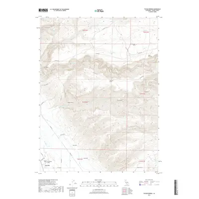
2018 Map of Tuscan Springs
USGS Topo · Published 2018About this map
Tuscan Springs and the agricultural pocket of Dairyville anchor this 2018 survey of the northern Sacramento Valley. The landscape is defined by the sharp transition from the flat basin floor at the southwestern corner to the complex, eroded plateaus and drainages of the eastern foothills. This terrain is marked by distinctive geological features like The Hogback and Potato Hill, and expansive flats including Abraham Plains and the Mud-Springs Plains.
Find a feature on this map
41 named features on this map. Tap any name to fly to it.
Don’t see what you’re looking for? This feature index may not catch every label — zoom into the map to look around manually.
Map Details
Editions of this 2018 Tuscan Springs Map
This is the sole edition of this map. No revisions or reprints were ever made.
Other maps of this area

1886 · Lassen Peak
USGS Topo · 1:250,000

1890 · Red Bluff
USGS Topo · 1:250,000

1892 · Lassen Peak
USGS Topo · 1:250,000

1894 · Lassen Peak
USGS Topo · 1:250,000

1894 · Red Bluff
USGS Topo · 1:250,000

1905 · Tehama
USGS Topo · 1:62,500

1935 · Paynes Creek
USGS Topo · 1:96,000

1941 · Mineral
USGS Topo · 1:125,000

1944 · Tuscan Buttes
USGS Topo · 1:62,500

1947 · Tuscan Buttes
USGS Topo · 1:62,500