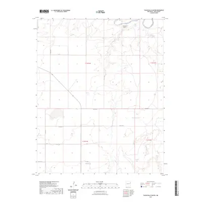
2023 Map of Tuscocoillo Canyon
USGS Topo · Published 2023About this map
Anniston Cem sits along QR 69, serving as a solitary genealogical landmark in this section of Quay County. The landscape is defined by the winding path of Tuscocoillo Canyon as it cuts toward the Canadian River in the north. This modern survey illustrates a ranching-focused terrain where water management is critical, evidenced by scattered livestock watering points such as Gollins Tank, Cottonwood Tank, and Red Hill Tank. A grid of rural routes, including Quay Road 72 and Quay Road 71, provides access across the high plains and through the drainage of Rana Arroyo. The map captures the current state of land divisions and the sparse infrastructure of this New Mexico cattle country.
Find a feature on this map
19 named features on this map. Tap any name to fly to it.
Don’t see what you’re looking for? This feature index may not catch every label — zoom into the map to look around manually.
Map Details
Editions of this 2023 Tuscocoillo Canyon Map
This is the sole edition of this map. No revisions or reprints were ever made.
Other maps of this area

1954 · Tucumcari
USGS Topo · 1:250,000

1958 · Tucumcari
USGS Topo · 1:250,000

1962 · Logan
USGS Topo · 1:62,500

1968 · Porter
USGS Topo · 1:24,000

1968 · Blue Hole
USGS Topo · 1:24,000

1968 · Bard
USGS Topo · 1:24,000

1968 · San Jon NW
USGS Topo · 1:24,000

1968 · Cammak Camp
USGS Topo · 1:24,000
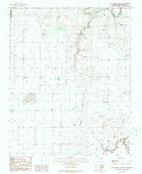
1989 · Tuscocoillo Canyon
USGS Topo · 1:24,000
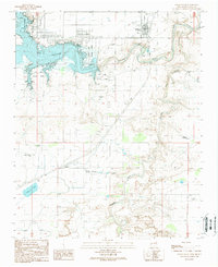
1989 · Logan South
USGS Topo · 1:24,000