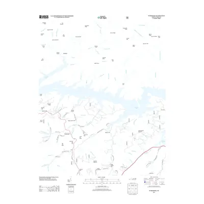
2013 Map of Tuskeegee
USGS Topo · Published 2013About this map
Tuskeegee and the small settlement of Brock sit south of the jagged shoreline of Fontana Lake, where high-elevation terrain meets the river-fed reservoir. The landscape is defined by its deep coves and numerous gaps, such as Walnut Hollow Gap and Chestnut Log Gap, which historically channeled movement through these steep ridges. To the north, the isolated settlement of Proctor remains tucked along Hazel Cr, while the high peaks of Welch Bald and Big Elk Knob overlook the drainage basins of Sawyer Cr and Tuskeegee Cr. The map reveals a network of forest roads and trails, including Apple Tree Trl and Cindy Cove Trl, that wind through the protected valleys of Briggs Garland Cove and Williams Cove. This 2013 survey provides a detailed look at the interface between established mountain communities and the wilder ridges of the Great Smoky Mountains region.
Find a feature on this map
121 named features on this map. Tap any name to fly to it.
Don’t see what you’re looking for? This feature index may not catch every label — zoom into the map to look around manually.
Map Details
Editions of this 2013 Tuskeegee Map
This is the sole edition of this map. No revisions or reprints were ever made.
Other maps of this area
1886 · Knoxville
USGS Topo · 1:125,000
1892 · Knoxville
USGS Topo · 1:125,000
1894 · Knoxville
USGS Topo · 1:125,000
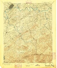
1895 · Knoxville
USGS Topo · 1:125,000
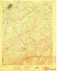
1901 · Knoxville
USGS Topo · 1:125,000
1933 · Bushnell
USGS Topo · 1:62,500
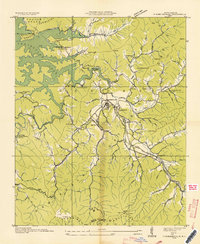
1935 · Robbinsville
USGS Topo · 1:24,000
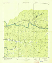
1935 · Fontana
USGS Topo · 1:24,000
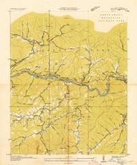
1936 · Proctor
USGS Topo · 1:24,000
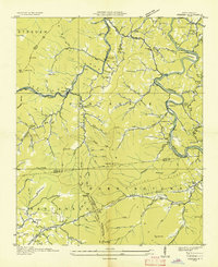
1936 · Wesser
USGS Topo · 1:24,000