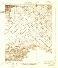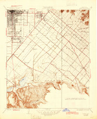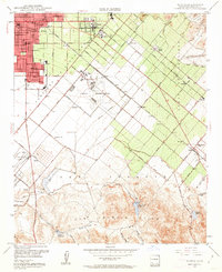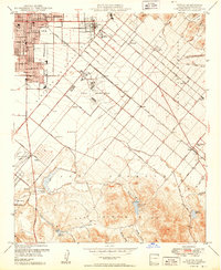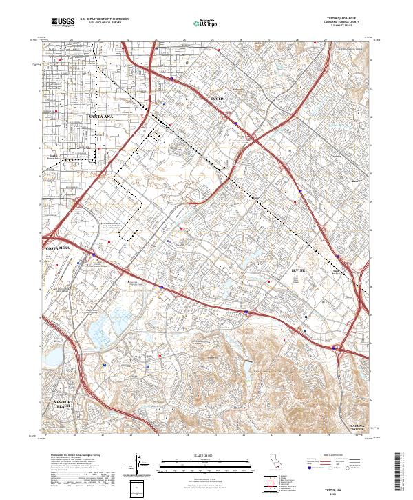
2022 Map of Tustin
USGS Topo · Published 2022About this map
The University of California Irvine campus and the extensive grounds of John Wayne-Orange County Airport dominate the southern half of this modern topographical study. The landscape transitions from the urban grids of Santa Ana and Tustin in the north to the increasingly complex terrain of the San Joaquin Hills and French Hill. The area is defined by a sophisticated network of drainage channels and washes, including the San Diego Creek and Peters Canyon Channel, which reflect the region's managed water systems.
Find a feature on this map
50 named features on this map. Tap any name to fly to it.
Don’t see what you’re looking for? This feature index may not catch every label — zoom into the map to look around manually.
Map Details
Editions of this 2022 Tustin Map
This is the sole edition of this map. No revisions or reprints were ever made.
Historical Maps of UCI - North Campus Through Time
8 maps found