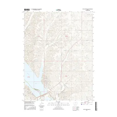
2015 Map of Tuttle Creek Dam
USGS Topo · Published 2015About this map
Tuttle Creek Dam serves as the structural anchor of this region, spanning the Big Blue River to form the expansive Tuttle Cr Lake. The landscape transition from the reservoir's eastern shore to the rugged uplands is marked by a network of drainage creeks, including Carnahan Cr, McIntire Cr, and Cedar Cr. This 2015 survey reveals how modern recreational and residential developments have clustered near the water, particularly along Spillway Marina Rd, Pheasant Ridge Rd, and Oak Shores Rd.
Find a feature on this map
48 named features on this map. Tap any name to fly to it.
Don’t see what you’re looking for? This feature index may not catch every label — zoom into the map to look around manually.
Map Details
Editions of this 2015 Tuttle Creek Dam Map
This is the sole edition of this map. No revisions or reprints were ever made.
Other maps of this area
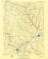
1886 · Junction City
USGS Topo · 1:125,000
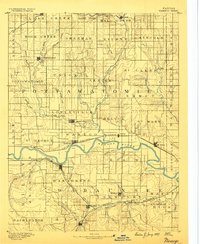
1889 · Wamego
USGS Topo · 1:125,000
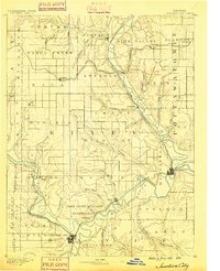
1889 · Junction City
USGS Topo · 1:125,000
1894 · Junction City
USGS Topo · 1:125,000
1894 · Wamego
USGS Topo · 1:125,000
1947 · Manhattan
USGS Topo · 1:62,500
1950 · Keats
USGS Topo · 1:24,000
1950 · Manhattan
USGS Topo · 1:24,000
1953 · St George
USGS Topo · 1:24,000
1955 · Manhattan
USGS Topo · 1:24,000