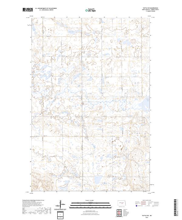
2024 Map of Tuttle SW
USGS Topo · Published 2024About this map
The Kidder County Waterfowl Production Area anchors the northern portion of this Kidder County landscape, reflecting the glacial pothole geography characteristic of the region. This terrain is defined by a dense network of seasonal wetlands and permanent water bodies like Clear Lake and Cherry Lake, which historically shaped the agricultural and hunting patterns of the central North Dakota plains. The map reveals a strict section-line grid of rural roads, including 24th Ave SE and 21st St SE, that partition the landscape into a patchwork of prairie and marsh. Unlike the more developed areas to the south and west, this quadrangle remains a critical wildlife corridor, with the township lines of t142n r73w and t141n r73w organizing a sparsely populated environment dedicated largely to conservation and large-scale ranching.
Find a feature on this map
22 named features on this map. Tap any name to fly to it.
Don’t see what you’re looking for? This feature index may not catch every label — zoom into the map to look around manually.
Map Details
Editions of this 2024 Tuttle SW Map
This is the sole edition of this map. No revisions or reprints were ever made.
Other maps of this area

1951 · Driscoll
USGS Topo · 1:62,500

1952 · Steele NE
USGS Topo · 1:24,000

1952 · Steele NW
USGS Topo · 1:24,000

1952 · New Rockford
USGS Topo · 1:250,000

1953 · Jamestown
USGS Topo · 1:250,000

1954 · Bismarck
USGS Topo · 1:250,000

1954 · McClusky
USGS Topo · 1:250,000

1956 · New Rockford
USGS Topo · 1:250,000

1956 · Jamestown
USGS Topo · 1:250,000

1958 · Bismarck
USGS Topo · 1:250,000