
1949 Map of Tutwiler School
USGS Topo · Published 1973About this map
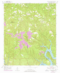
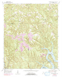
Tutwiler School and several rural churches anchor the landscape of this mid-century survey along the border of Walker, Tuscaloosa, and Jefferson Counties. The area is defined by the winding course of the Black Warrior River, which expands here into Bankhead Lake. Small communities like Browntown, Fairview, and The Wye are scattered across the terrain, connected by backcountry roads and crossings like Wallace Bridge.
Find a feature on this map
38 named features on this map. Tap any name to fly to it.
Don’t see what you’re looking for? This feature index may not catch every label — zoom into the map to look around manually.
Map Details
Editions of this 1949 Tutwiler School Map
3 editions found
Other maps of this area

1893 · Jasper
USGS Topo · 1:125,000

1899 · Brookwood
USGS Topo · 1:125,000

1927 · Adger
USGS Topo · 1:48,000

1929 · Searles
USGS Topo · 1:48,000

1932 · Yolande
USGS Topo · 1:62,500

1934 · Searles
USGS Topo · 1:62,500

1935 · Port Birmingham
USGS Topo · 1:48,000

1935 · Yolande
USGS Topo · 1:62,500

1938 · Port Birmingham
USGS Topo · 1:62,500

1949 · Parrish
USGS Topo · 1:24,000