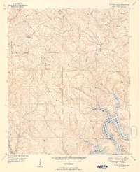
1951 Map of Tutwiler School
USGS Topo · Published 1951About this map
The confluence of the Black Warrior River and its numerous tributaries defines this landscape on the border of Walker and Tuscaloosa counties. In the early 1950s, the recently formed Bankhead Lake flooded the lower reaches of White Oak Creek and Shoal Creek, altering the local geography. Small upland communities like Browntown, Fairview, and The Wye sit along the ridges, connected by winding roads and landmarks like Wallace Bridge. Local life centered around institutions such as Tutwiler School and Reynolds Sch, alongside rural congregations at Freewell Ch and Cedar Creek Ch. The presence of the High Hill Fire Tower underscores the heavily wooded nature of this terrain, where settlement patterns followed the high ground between deeply incised creek valleys like Indian Creek and Clifty Creek.
Find a feature on this map
41 named features on this map. Tap any name to fly to it.
Don’t see what you’re looking for? This feature index may not catch every label — zoom into the map to look around manually.
Map Details
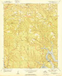
Editions of this 1951 Tutwiler School Map
2 editions found
Other maps of this area

1893 · Jasper
USGS Topo · 1:125,000

1899 · Brookwood
USGS Topo · 1:125,000

1927 · Adger
USGS Topo · 1:48,000

1929 · Searles
USGS Topo · 1:48,000

1932 · Yolande
USGS Topo · 1:62,500

1934 · Searles
USGS Topo · 1:62,500

1935 · Port Birmingham
USGS Topo · 1:48,000

1935 · Yolande
USGS Topo · 1:62,500

1938 · Port Birmingham
USGS Topo · 1:62,500

1949 · Parrish
USGS Topo · 1:24,000