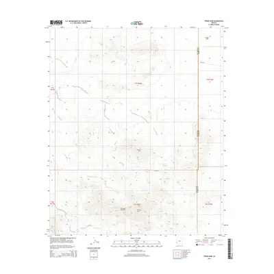
2014 Map of Tweed Mine
USGS Topo · Published 2014About this map
Chocolate Mountains terrain dominates this corner of the Sonoran Desert, where the arid landscape is defined by the drainage networks of Mohave Wash and Gould Wash. The map centers on the Tweed Mine, a site that anchors the local history of mineral exploration in this desolate reach of the Arizona borderlands. To the north, the elevation subsides into the La Posa Plain, while distinctive geological formations are noted within the interior ridges, including two separate features labeled as Natural Arch. Navigated primarily by the desert track of Cibola Rd, the area straddles the boundary between La Paz and Yuma counties, preserving a record of this remote mining and wilderness region as it existed in the early 21st century.
Find a feature on this map
14 named features on this map. Tap any name to fly to it.
Don’t see what you’re looking for? This feature index may not catch every label — zoom into the map to look around manually.
Map Details
Editions of this 2014 Tweed Mine Map
This is the sole edition of this map. No revisions or reprints were ever made.
Other maps of this area
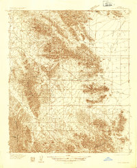
1934 · Trigo Peaks
USGS Topo · 1:48,000
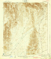
1939 · Red Hill
USGS Topo · 1:62,500
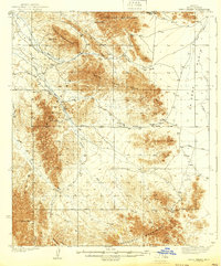
1939 · Trigo Peaks
USGS Topo · 1:62,500

1942 · Blythe
USGS Topo · 1:250,000

1954 · Salton Sea
USGS Topo · 1:250,000
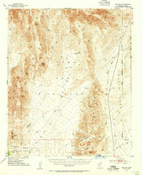
1954 · Red Hill
USGS Topo · 1:62,500
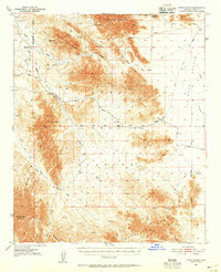
1954 · Trigo Peaks
USGS Topo · 1:62,500

1955 · Salton Sea
USGS Topo · 1:250,000
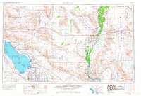
1959 · Salton Sea
USGS Topo · 1:250,000
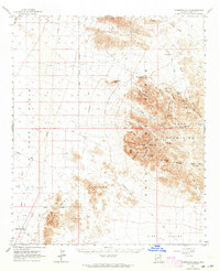
1962 · Livingston Hills
USGS Topo · 1:62,500