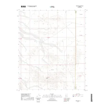
2018 Map of Tweed Mine
USGS Topo · Published 2018About this map
Tweed Mine sits at the northern end of the Chocolate Mountains in this arid desert landscape. The map details a region where the high ridges give way to the expansive La Posa Plain to the north, defined by complex drainage systems such as Mohave Wash and Gould Wash. These seasonal waterways carve through the terrain, illustrating the dramatic erosive forces at work in the Arizona desert.
Find a feature on this map
14 named features on this map. Tap any name to fly to it.
Don’t see what you’re looking for? This feature index may not catch every label — zoom into the map to look around manually.
Map Details
Editions of this 2018 Tweed Mine Map
This is the sole edition of this map. No revisions or reprints were ever made.
Other maps of this area
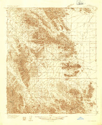
1934 · Trigo Peaks
USGS Topo · 1:48,000
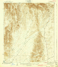
1939 · Red Hill
USGS Topo · 1:62,500
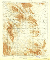
1939 · Trigo Peaks
USGS Topo · 1:62,500

1942 · Blythe
USGS Topo · 1:250,000

1954 · Salton Sea
USGS Topo · 1:250,000
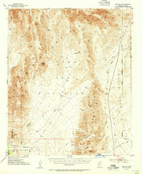
1954 · Red Hill
USGS Topo · 1:62,500
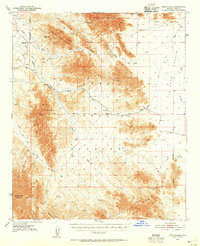
1954 · Trigo Peaks
USGS Topo · 1:62,500

1955 · Salton Sea
USGS Topo · 1:250,000
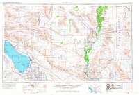
1959 · Salton Sea
USGS Topo · 1:250,000
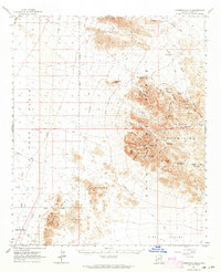
1962 · Livingston Hills
USGS Topo · 1:62,500