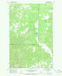
1968 Map of Tweedie
USGS Topo · Published 1971About this map
The Chicago Milwaukee St Paul and Pacific railroad forms a diagonal spine through this territory during the late 1960s, linking the small community of Tweedie to the broader regional rail network. The landscape is defined by the broad floor of Spring Valley, where Spring Valley Creek and Elmer Creek converge. Local life is anchored by the Spring Valley Ch, while the southern reaches of the map transition into the more elevated, protected lands of Mt Spokane State Park and the Kaniks National Forest. The presence of several gravel pits and a well near the Washington Idaho state line suggests a rural economy tied to the land's natural resources. In the southeast corner, the settlement of Blanchard sits at the intersection of Blanchard Road and the railroad, serving as a gateway for travelers entering the scenic Blanchard Creek drainage.
Find a feature on this map
23 named features on this map. Tap any name to fly to it.
Don’t see what you’re looking for? This feature index may not catch every label — zoom into the map to look around manually.
Map Details
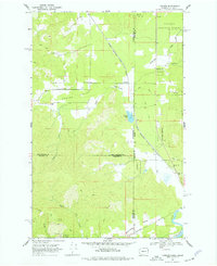
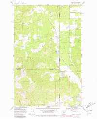
Editions of this 1968 Tweedie Map
Other maps of this area

1901 · Sandpoint
USGS Topo · 1:125,000

1901 · Spokane
USGS Topo · 1:125,000

1903 · Rathdrum
USGS Topo · 1:125,000

1911 · Priest Lake
USGS Topo · 1:250,000

1911 · Sandpoint
USGS Topo · 1:125,000

1913 · Priest Lake
USGS Topo · 1:250,000

1936 · Newport
USGS Topo · 1:96,000

1942 · Newport
USGS Topo · 1:125,000

1943 · Mt Spokane
USGS Topo · 1:62,500

1950 · Mt Spokane
USGS Topo · 1:62,500