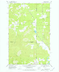
1968 Map of Tweedie
USGS Topo · Published 1977About this map
Spring Valley anchors this survey of the rugged borderlands where Washington and Idaho meet, centered on the small settlement of Tweedie. The landscape is defined by the heavy infrastructure of the Chicago Milwaukee St Paul and Pacific railroad, which cuts a diagonal path through the valley floor. To the south, the community of Blanchard sits near the junction of multiple county and state lines, surrounded by the protected timberlands of the Kaniksu National Forest and the northern reaches of Mt Spokane State Park. Water is a constant presence, from the winding Elmer Creek and McDonald Creek to the secluded Trask Pond. Local landmarks like the Spring Valley Ch and various wells and gravel pits reflect a rural economy tied to the land and the rail line during the late 1960s.
Find a feature on this map
27 named features on this map. Tap any name to fly to it.
Don’t see what you’re looking for? This feature index may not catch every label — zoom into the map to look around manually.
Map Details
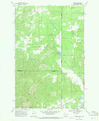
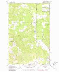
Editions of this 1968 Tweedie Map
Other maps of this area

1901 · Sandpoint
USGS Topo · 1:125,000

1901 · Spokane
USGS Topo · 1:125,000

1903 · Rathdrum
USGS Topo · 1:125,000

1911 · Priest Lake
USGS Topo · 1:250,000

1911 · Sandpoint
USGS Topo · 1:125,000

1913 · Priest Lake
USGS Topo · 1:250,000

1936 · Newport
USGS Topo · 1:96,000

1942 · Newport
USGS Topo · 1:125,000

1943 · Mt Spokane
USGS Topo · 1:62,500

1950 · Mt Spokane
USGS Topo · 1:62,500