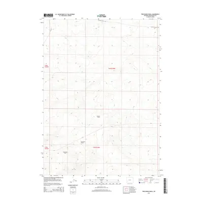
2015 Map of Twelvemile Knoll
USGS Topo · Published 2015About this map
California-Oregon Trl cuts across the northern reaches of this Wyoming landscape, marking a path of westward migration through the high desert. This 2015 survey by the U.S. Geological Survey illustrates the rugged drainage systems of Twelvemile Canyon and Simpson Gulch, which define the local topography south of the historic trail. The area is dominated by the prominent landmark Twelvemile Knoll, situated in the southwestern section of the quadrangle. Modern infrastructure, including Cr-49 and Blm-4204, follows the natural contours of the land, providing access through these public lands within the t25n r108w and t26n r108w townships. The map is a vital resource for understanding how ancient travel routes and modern Bureau of Land Management roads coexist in this arid terrain.
Find a feature on this map
10 named features on this map. Tap any name to fly to it.
Don’t see what you’re looking for? This feature index may not catch every label — zoom into the map to look around manually.
Map Details
Editions of this 2015 Twelvemile Knoll Map
This is the sole edition of this map. No revisions or reprints were ever made.
Other maps of this area

1955 · Lander
USGS Topo · 1:250,000

1958 · Lander
USGS Topo · 1:250,000

1961 · Lander
USGS Topo · 1:250,000
1968 · Twelvemile Sink
USGS Topo · 1:24,000
1968 · Twelvemile Knoll
USGS Topo · 1:24,000
1968 · Monument Butte NE
USGS Topo · 1:24,000
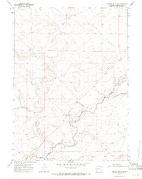
1968 · Simpson Gulch SE
USGS Topo · 1:24,000
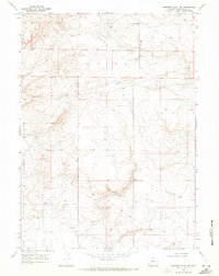
1968 · Simpson Gulch SW
USGS Topo · 1:24,000
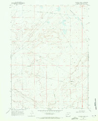
1968 · Fourmile Knoll
USGS Topo · 1:24,000
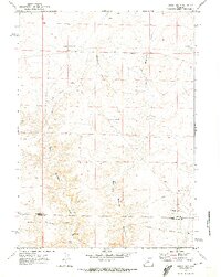
1969 · Sugar Loaf
USGS Topo · 1:24,000